


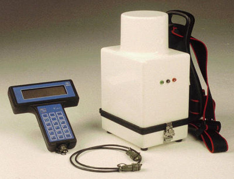
FIELD MEASURING
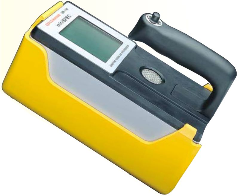
Measuring proceeds by modern gamaspectrometer GR - 130 fy Exploranium and brings these results:
- prospecting for radioactive raw materials
- dozimetrie (dose rate, rate of dose equivalent, exposition dose)
- analysis: spectrometric analysis of radioactive radiation
Measurement is usable at large scope of work:
- prospecting for raw materials
- geological mapping
- prospecting for gas and petrol
- geophysical field measurements
- monitoring of environment quality
- field measurements of contents of kalium and equilibrium uranium and thorium
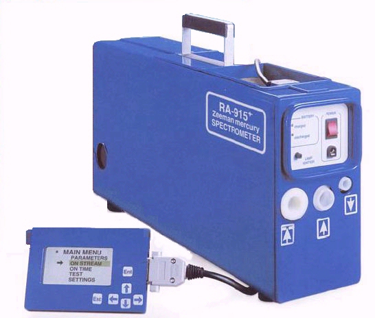
MERCURYMETRY
Measurement is carried out by means of mercury meter Lumex RA-915+,
enabling
- measuring of mercury content in air - mobile measurement
- measuring of mercury content in solid materials – in laboratory with help of additional module.
GEODEZY
Measurement is carried out by means of instrument GPS MAGELLAN (see
figure on left)
- serve to geodetic laying-out of points and profiles, aiming of points and profiles, land morfology
MEASUREMENT OF FLOW VELOCITY IN STREAMS
- Measurement is made by means of hydrometric wing
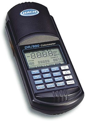
ANALYSIS OF WATER QUALITY
Measurement is made by means of:
- portable photometer DR 890. Intended mainly for the fast field measurements of common water parameters by means of wrapped agents Hach, calibration data of which are stored in memory. Approved at monitoring of drinking (Cl2, ClO2, O3, barva, Fe, Mn, atd.) and waste waters (PO4, NH4, NO3, CHSK, celk. P a N, atd.). Potentially user´s calibrations can be used mainly at industrial processes
- multifunctional measuring system Meazura MEZ 1000 - mobile determination of pH, Eh, O2, conductivity and temperature of waters (calibration is made on site before measuring)
- instrument Senso Direct Ph 110 – field pH-Eh meter
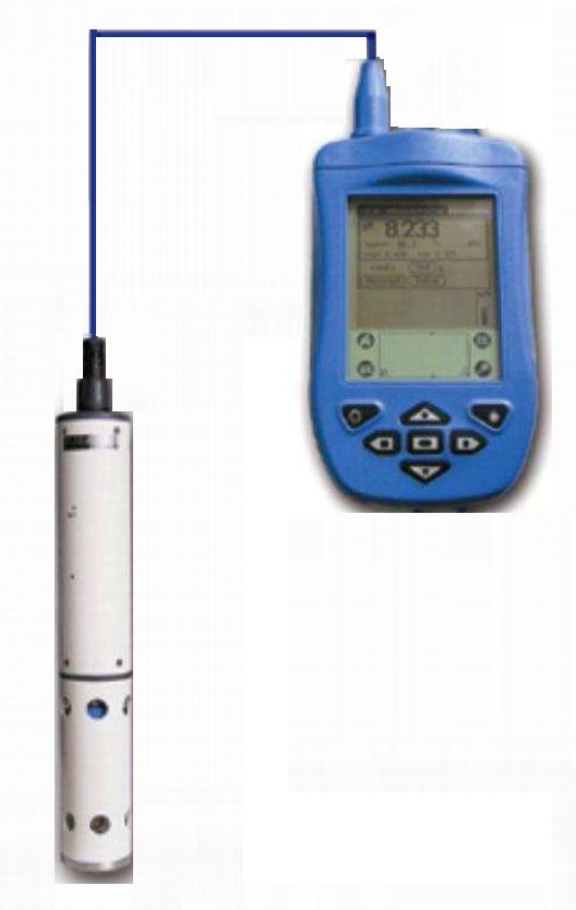

MEASUREMENT OF WATER LEVEL
- continuous measurement of water level in hydrogeologic objects using instrument Levelloger
GEOPHYSICAL MEASUREMENTS
- by means of geophysical instrument Abem WADI and T-VLF
- mainly used for water resources finding